Drone Photography & Aerial Services
Pricing Tiers
Professional aerial imagery, commercial building showcases, and land boundary overlays for the Vail Valley and Eagle County.
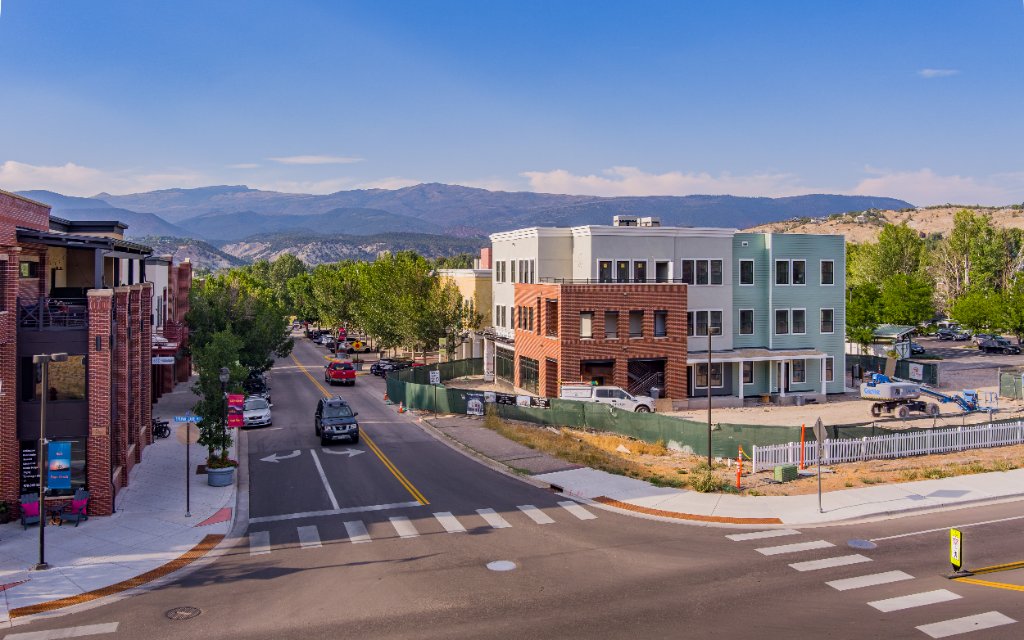
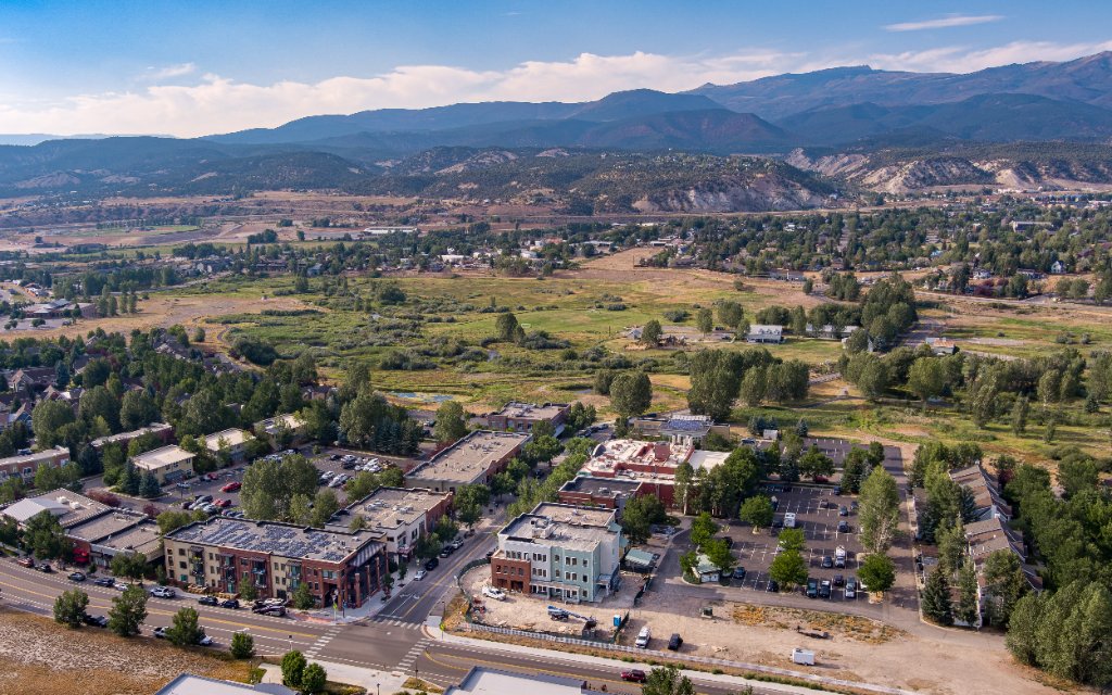
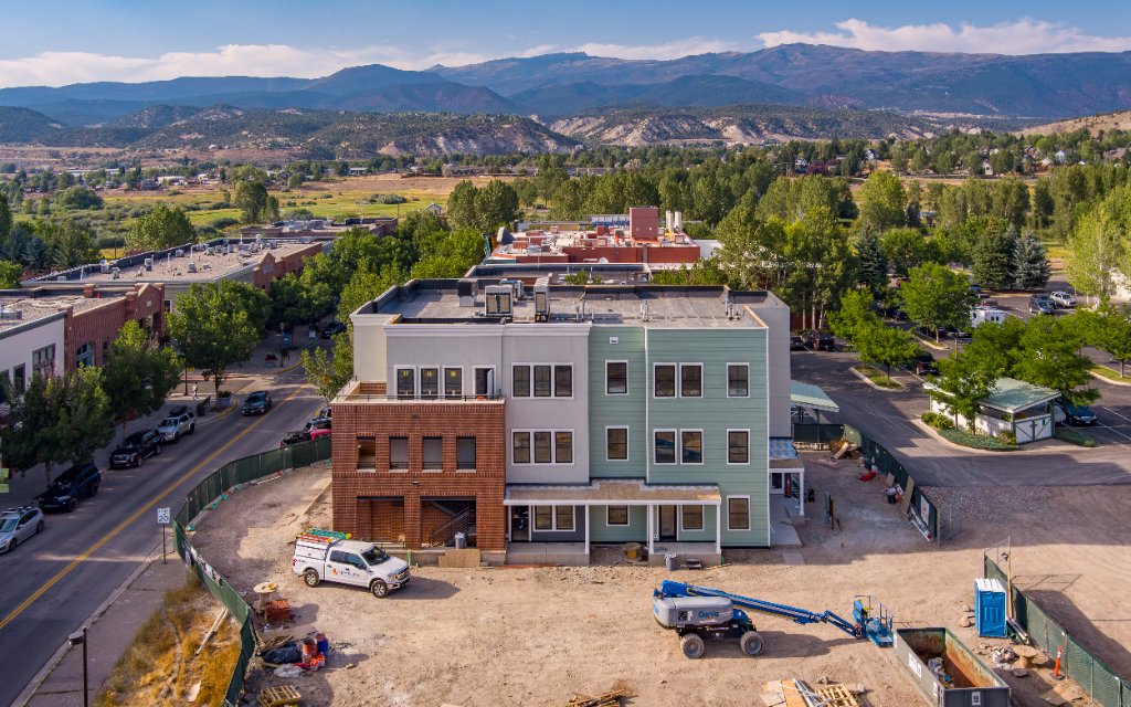
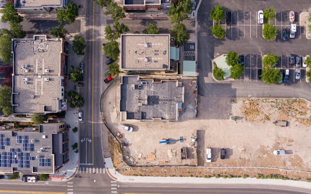
Tier 1
Basic Aerial Package
Best for small-medium size residential properties, single commercial buildings, or quick listing updates.
- 12 High-Resolution Edited Photos (JPEG / TIFF)
- Full Exterior Coverage: 4 Cardinal angles (N, S, E, W), overhead top-down views, low-altitude detail shots
- Standard Editing: Color correction, sky enhancement, exposure balancing
- Eagle County Travel Included
- Digital Delivery
Tier 2
Premium Aerial Package
Designed for medium-to-large commercial spaces, luxury homes, or multi-tenant retail centers requiring property line overlays and marketing callouts.
- 20 High-Resolution Edited Photos (JPEG / TIFF)
- Comprehensive Coverage: 360-degree obliques, contextual neighborhood/traffic flow shots, overhead top-downs, and entrance hero shots
- Graphics & Callouts: Up to 2 site callouts (e.g., parking area, main entrance, or street labels)
- Eagle County Travel Included
- Digital Delivery
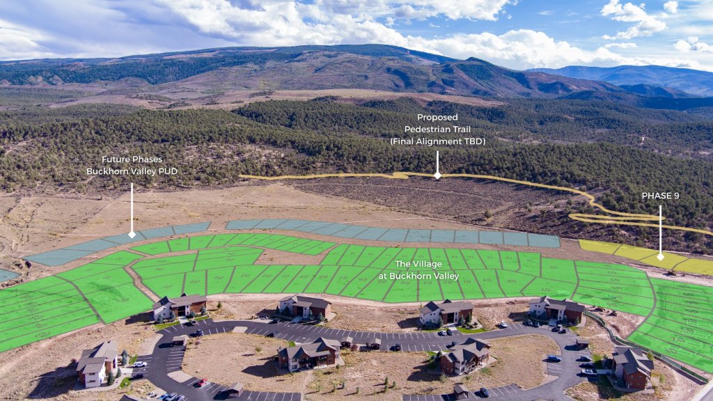
Tier 4
Subdivision & Multi-Lot Inventory Package
Built specifically for land developers, builders, and brokers marketing multi-lot developments, vacant land subdivisions, or phased communities.
$500base · first 5 lots
+$80/ add'l lot
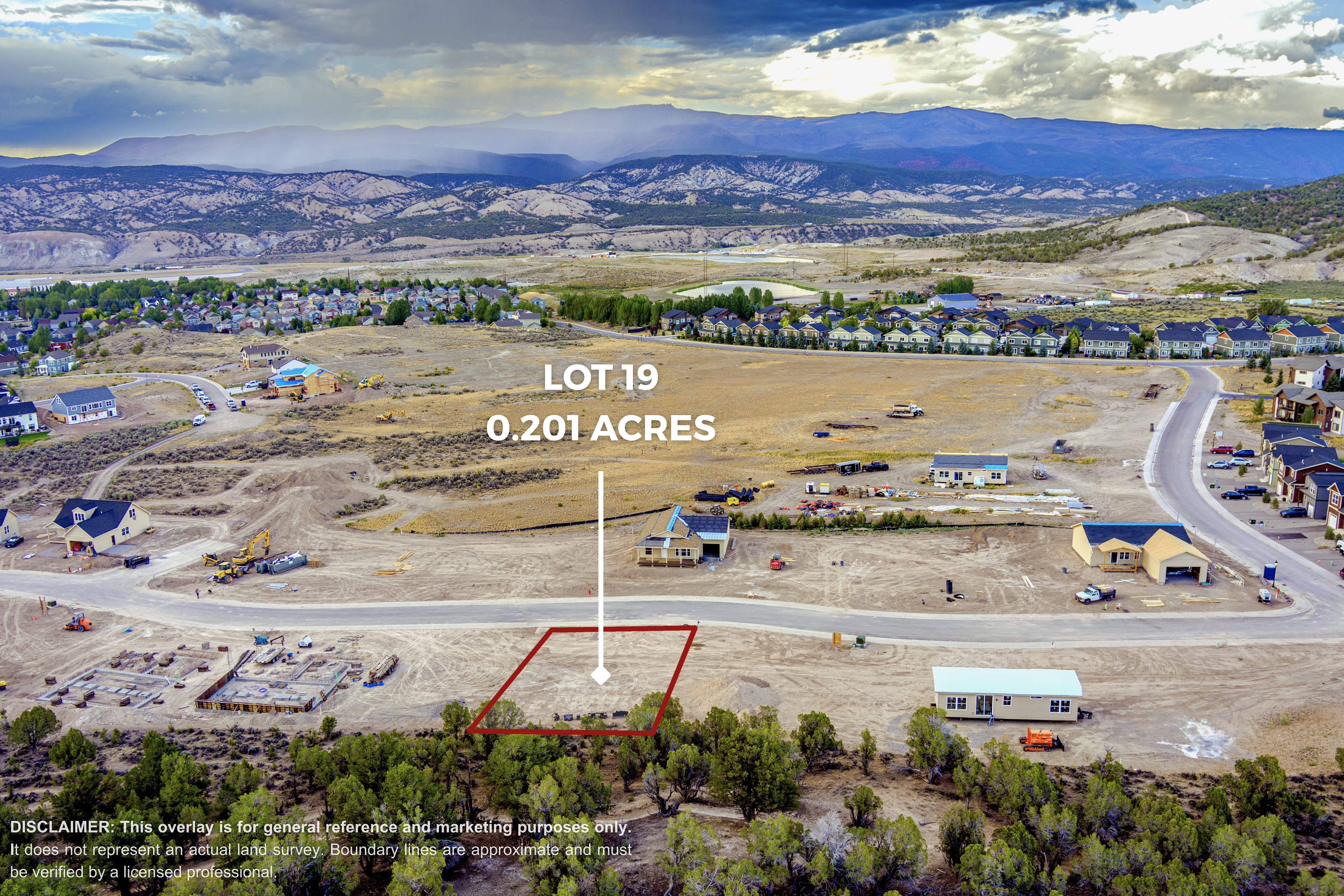
- 3 Dedicated High-Res Views Per Lot: Low-Altitude Primary View (~10-15ft AGL), Low-Altitude Secondary View (~10-15ft AGL), High-Altitude Top-Down / Site Plan View
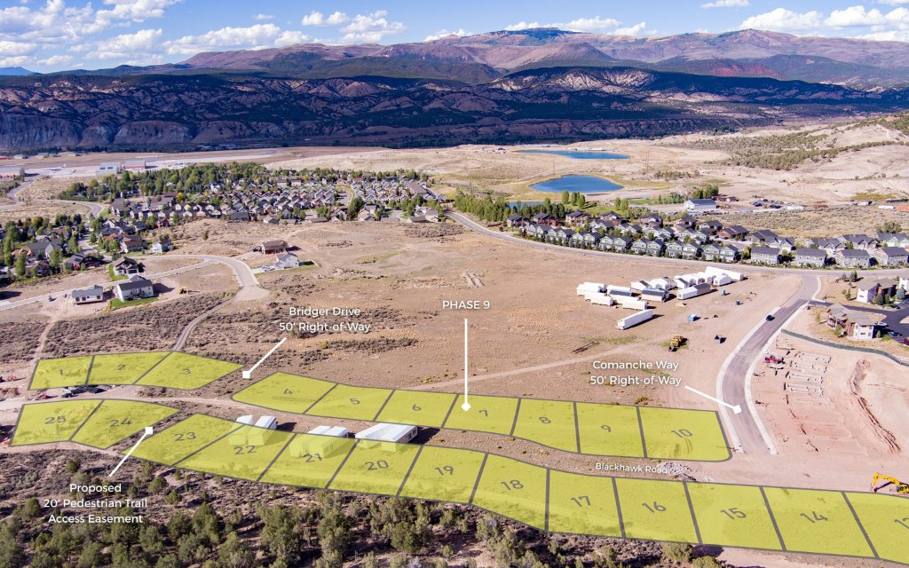
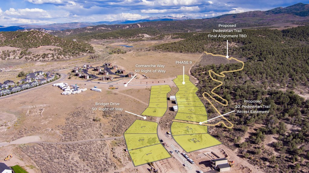
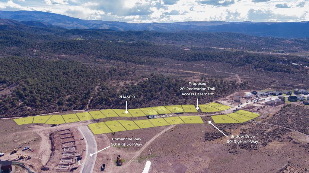
- Property Line Overlays Included on EVERY Photo: Custom GIS backed property boundaries overlaid across all deliverables
- Full Subdivision Overview Shots: Includes 3–5 high-altitude site context photos showing the entire development layout
- Eagle County Travel Included
- Digital Delivery
Available Add-Ons
Customize Any Package
- Approximate Property Lines Overlay: +$100
- Additional Photos: +$25 / photo
- Pitkin, Garfield, & Summit County Travel: +$100
Why Work With Us?
- FAA Part 107 Certified & Fully Insured
- 7+ Years of Drone & Land Surveying Experience: We understand scale, topography, and property lines better than standard photographers.
- Local Eagle County Knowledge: Fast turnaround, reliable flight operations, and deep familiarity with local airspace and weather conditions.