Featured Project · Property Line Overlay Service
42 Pinnacle Point
Aerial orthomosaic with artistic property boundary overlay — precision survey data rendered as a marketable visual asset.
Edwards, CO · Cordillera Valley Club, Lot 12 · 0.501 Acres
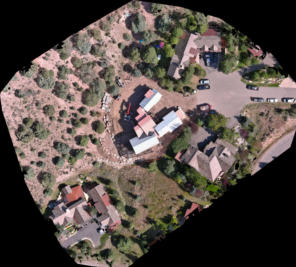
PLS 37902 · Survey Date: August 27, 2025 · Archibeque Land Consulting, Ltd.
New Service Offering
Property Line Overlay
on Aerial Orthomosaics
We combine high-precision aerial orthomosaic photography with licensed survey data to produce stunning, publication-ready property boundary overlays — ideal for listings, development marketing, and legal documentation.
Every overlay is cross-referenced against the official land survey plat, ensuring your boundary lines are accurate, professional, and defensible.
Request This ServiceWhat's Included
Full-resolution aerial orthomosaic flight
Property boundary overlay from licensed survey plat
Animated digital version for social & web marketing
Print-ready static export (300 DPI)
Survey monument markers & bearing labels
Building envelope visualization
North arrow, scale bar & parcel metadata badge
Branded watermark for Barela Pro Services
Commercial use license
Starting Price
$750+ survey fee if needed
Includes orthomosaic flight, overlay production & all deliverables.